Upskill in AI with new micro-qualifications
Bite-sized, subsidised courses from Skills to Advance can help citizens, employees, and businesses understand and use AI safely and efficiently.
The rapid advancement of artificial intelligence (AI) is transforming industries across Ireland and beyond. As a result, lifelong learning and upskilling throughout our careers has never been more important for organisations to keep pace with an evolving workspace.
Recent research from the Department of Enterprise, Tourism and Employment (DETE) indicates that certain roles, such as those in customer service, data processing, ICT, and business administration, are highly likely to be affected by AI.
While some tasks within may become automated, the integration of AI can also enhance and complement the work carried out in businesses, leading to increased demand for leadership and expertise in managing and implementing new technologies.
Recognising the growing need for accessible, relevant AI upskilling in the workplace, SOLAS, the further education and training (FET) authority has recently added a new AI offering to its FET micro-qualification courses under its Skills to Advance initiative.
These short, targeted courses offer citizens, employees, and the wider business community a unique opportunity to upskill and learn about essential topics such as machine learning basics, ethical AI, data analysis, and practical use cases relevant to Irish businesses.
FET micro-qualifications are bite-sized, accredited courses that offer targeted upskilling in future-focused skill areas. Highly subsidised and flexibly delivered, micro-qualifications are short in duration; typically amounting to 50 hours of tutor time and self-directed learning combined.
Delivered locally by the network of 16 Education and Training Boards (ETBs) nationwide, courses are scheduled around the operating needs of participating organisations, and can be delivered in person, online, or in blended learning formats. Tutor support and online digital resources are also provided to enhance the learning experience.
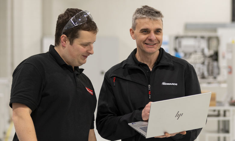
This flexible approach to course delivery has proven highly effective for learners seeking to balance upskilling with work. Mark, from New Technology Systems Integration Ltd., completed an instructor-led online AI micro-qualification with Tipperary ETB.
Speaking about his experience, he states: “The fully online format made it easy to fit around my busy schedule, while still providing a first-class, engaging learning experience.”
In addition to flexibility, these targeted courses are designed by industry experts with work-ready applications, enabling learners across various workplaces to translate their new skills directly into their roles.

Having completed the Introduction to AI micro-qualification with Donegal ETB, Eamon, from Resiliency Consultant at Optum, gained practical skills that empowered him to bring AI into his workplace. He says: “It helped me think about how I can integrate AI into my work, and it has driven me to continue my learning journey.”
All AI micro-qualifications are fully accredited from levels four to six on the National Framework of Qualifications (NFQ), and offer a stackable structure, enabling learners to advance as far as they wish on their educational journey.
The suite of AI micro-qualifications includes:
- Introduction to AI (Level 4): This micro-qualification is designed to equip participants with foundational knowledge, skills and competencies in the rapidly evolving area of AI. Participants will gain an understanding of AI concepts, practical applications and ethical considerations, and have opportunities to enhance their problem-solving abilities.
- Enhancing Productivity with AI (Level 5): With a focus on generative AI (GenAI), this micro-qualification empowers employees to confidently begin integrating tools and technologies into their professional environments. The course seeks to bridge the gap between the theoretical knowledge of AI and its practical application, enabling participants to critically consider how to harness the potential of GenAI.
- AI strategic planning and legal review (Level 6): Coming later in 2026, this course contains two micro-qualifications: 1) AI: Legal and Ethical Considerations, and 2) Strategic Planning for AI. These micro-qualifications can be completed individually or combined, and are designed to equip employees with the knowledge, skills, and practical tools required to support the responsible and strategic adoption of AI and GenAI in workplace and organisational contexts.

Learn how to harness the potential of emerging technologies safely and effectively today. Contact your local ETB about the AI micro-qualifications on offer in your area, or find out more by visiting the website below.